
i
Sensor networks
Low-cost instruments hosted by the people they protect, observing the ground, the coast and the air at a density no single institution could build alone. Live today: GeoShake, our earthquake network.
The first program
Sensory Earth Intelligence Systems
Planet-scale sensing for natural hazards: dense, affordable, citizen-hosted networks and the early-warning intelligence behind them. Earthquakes first, through GeoShake.
01 - Mission
Most of the planet is still unobserved at the scale that matters. We are changing that with low-cost stations hosted by the people they protect, starting with earthquakes.
How the network worksCost of a conventional seismic station. They typically stand 30-60 km apart, leaving whole towns between them unobserved.
Share of countries that still report no multi-hazard early warning system. The UN’s Early Warnings for All initiative aims to cover everyone by 2027.1
Natural-disaster losses in 2025. Less than half was insured.2
02 - What we do
Sensory Earth builds the sensors, runs the platform that turns their readings into warnings, and works with the institutions that can carry dense observation to every hazard and every region.
i
Low-cost instruments hosted by the people they protect, observing the ground, the coast and the air at a density no single institution could build alone. Live today: GeoShake, our earthquake network.
The first programii
The platform behind every network: stations cross-check one another, confirmed events reach phones, buildings and infrastructure within seconds, and verified data is published through an open API.
How it worksiii
With universities, civil-protection agencies, insurers and infrastructure operators we bring sensing to the regions that need it most - one hazard program at a time.
Partner with us03 - The network
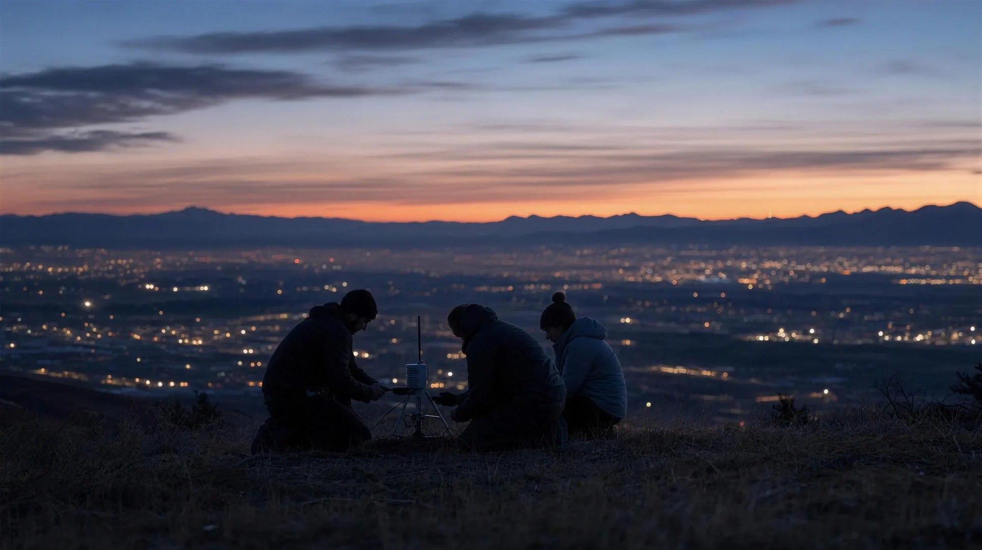
Every station is hosted by someone who chose to take part: a family, a school, a city. Together they form a network denser than any single institution could build alone.
Illustrative station distribution · live coverage at map.geoshake.org
i
Place a GeoShake T1 in your home, school or workplace and add a point of observation to the map.
Get a sensorii
Fund an array of stations for a community that needs one but cannot yet afford it.
Sponsor a regioniii
The firmware and software are open source. Improve them, audit them or build on the data.
View on GitHubiv
Follow live activity on the map and receive earthquake alerts on your phone.
Open the live map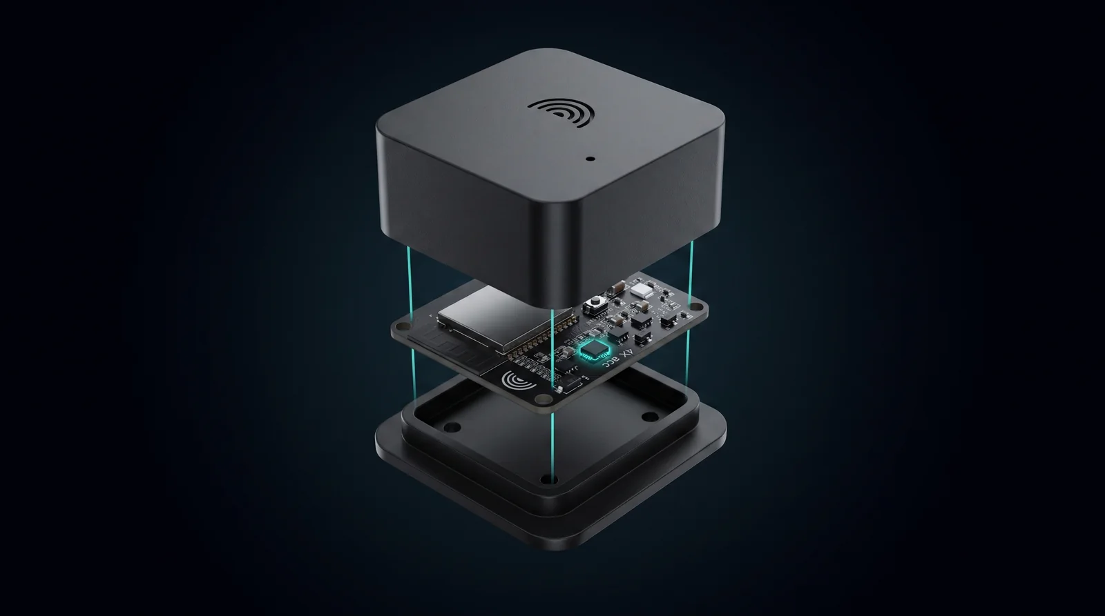 GeoShake T1 · exploded view
04 - GeoShake · the first program
Our earthquake network. A compact ground-motion sensor, the GeoShake T1, turns homes, schools and workplaces into seismic observatories that report to the platform around the clock - 500+ stations today.
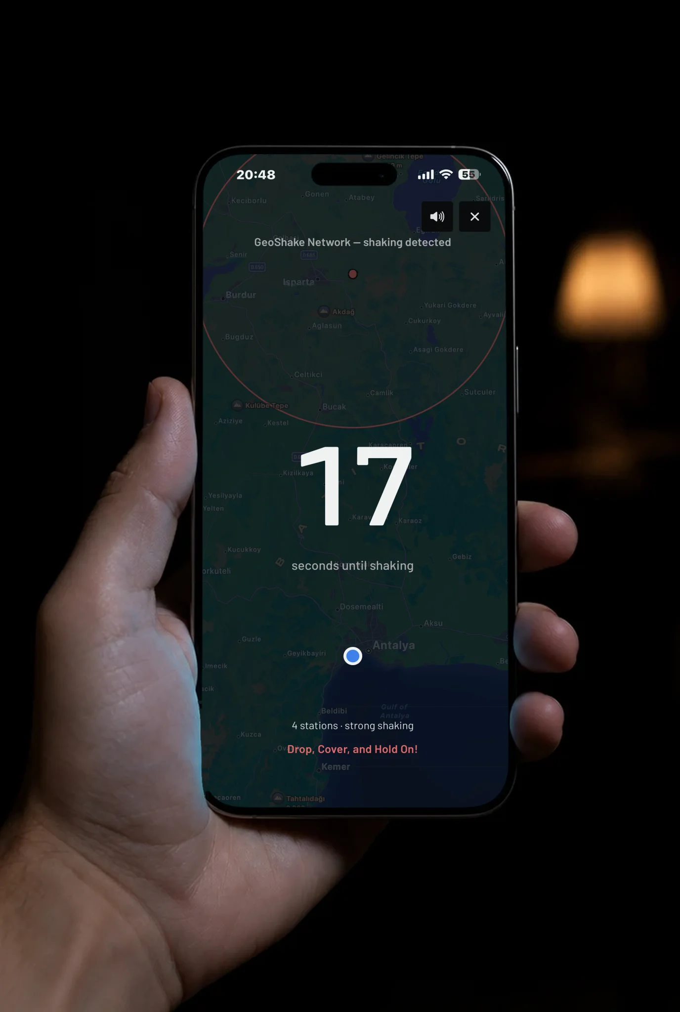
Earthquake alerts and live ground-motion data on iOS, Android and the web, with an open developer API for researchers and builders.
Automatic responses once shaking is confirmed: gas shut-off, emergency lighting and rail slow-down through Home Assistant, Apple Home and industrial relays.
05 - How it works
Each station samples ground motion more than 100 times a second and flags unusual shaking on the device itself.
Neighboring stations cross-check the signal, rejecting traffic, construction and quarry blasts.
Confirmed alerts reach phones, buildings and infrastructure, and verified shaking data supports faster recovery.
For earthquakes today the network’s median alert time is 2.3 seconds, typically 5-20 seconds before strong shaking arrives, depending on distance from the epicenter.
06 - Roadmap
Each hazard gets its own program on the same platform and the same principle - dense, affordable, hosted by the people it protects. Earthquakes are live; the rest follow in order.
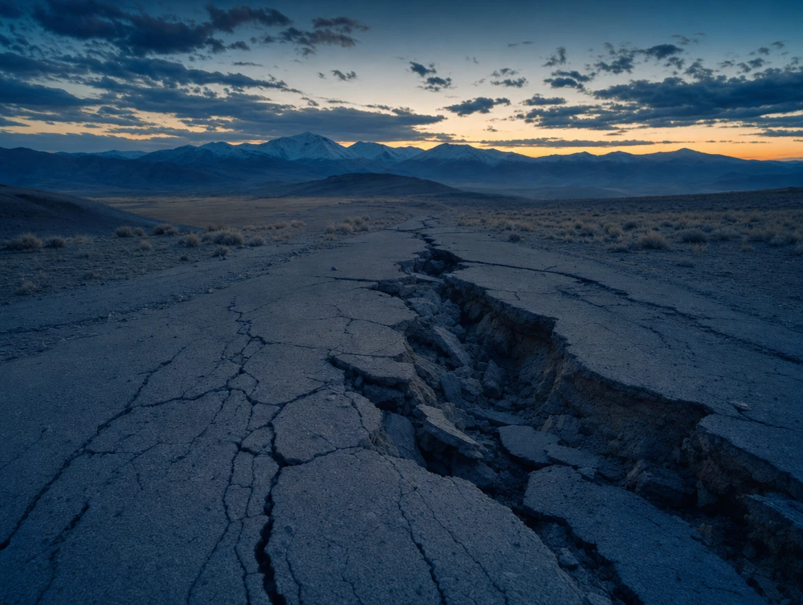
GeoShake: ground-motion sensing and early warning, 500+ stations reporting.

Extending the earthquake network to coastal warnings: from the first shaking to the arrival of the sea.

Monitoring tremor and ground movement around active volcanoes.
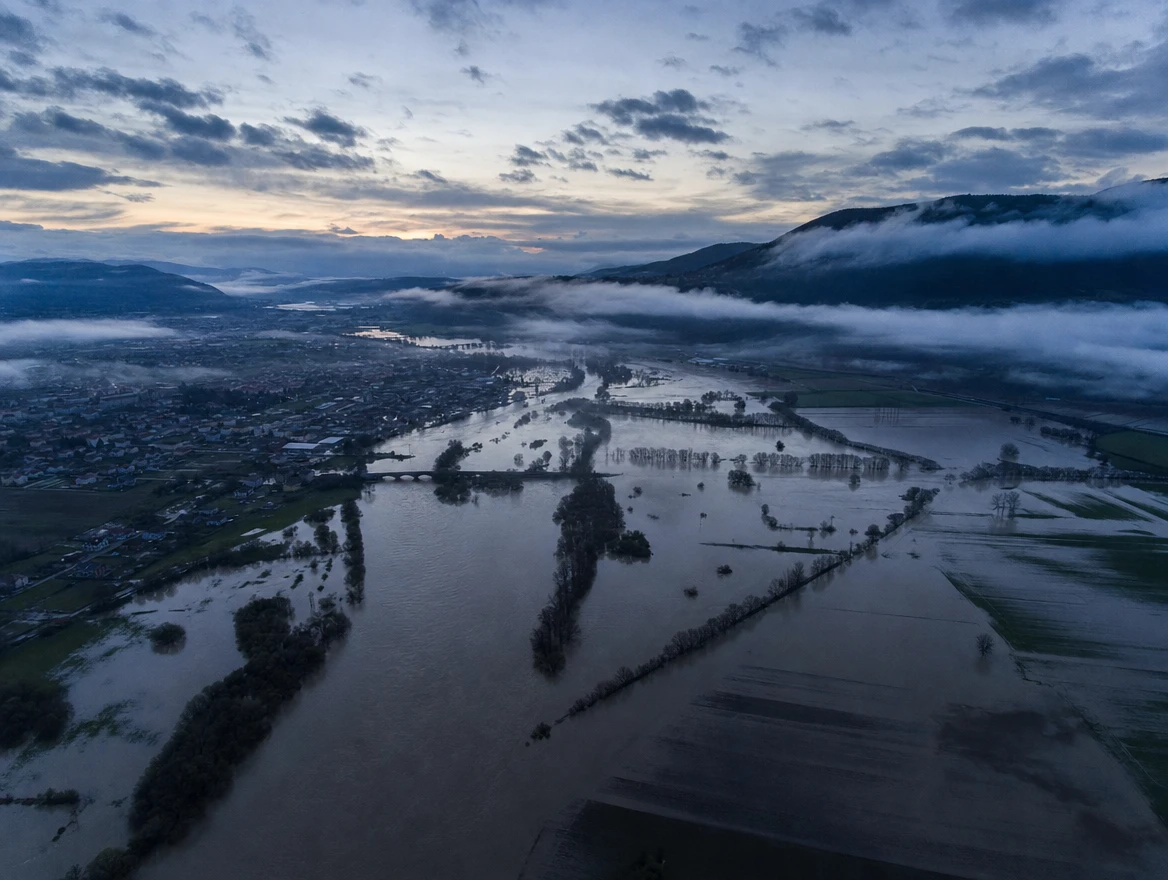
Measuring rainfall and river levels in the places that flood first.
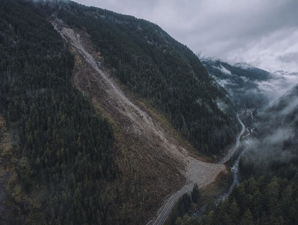
Detecting slope movement and saturated ground on vulnerable hillsides.
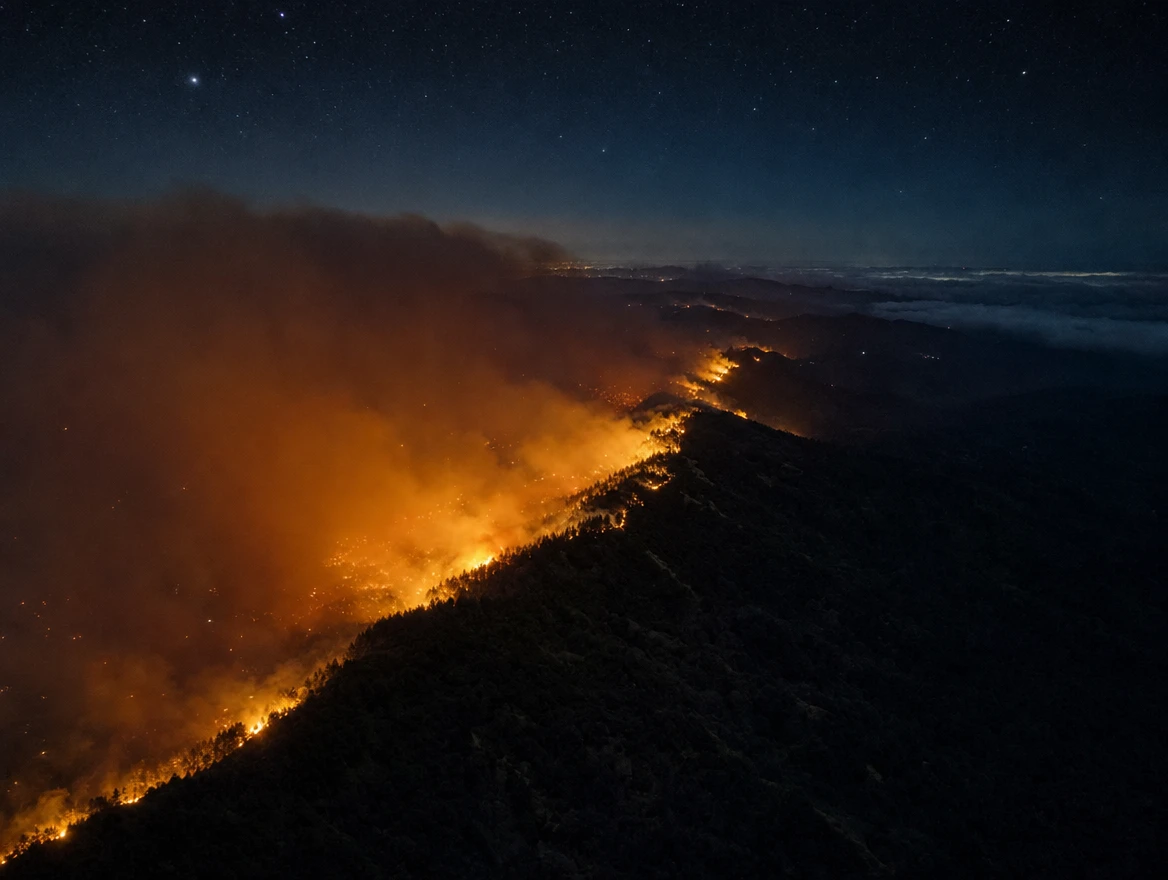
Sensing heat, smoke and dryness where forests meet settlements.
07 - Mission before margin
Sensory Earth is a company, but profit is not its purpose. The income it earns keeps the network growing, maintained and independent.
Sensors priced so that households, schools and small communities can take part.
Organizations and philanthropists fund arrays of stations where they are needed most.
Infrastructure operators, insurers and public bodies pay for data, integrations and verified event reports, including data for parametric insurance.
Firmware and software are published openly, so the network can be examined, improved and trusted.
Low-cost instruments mean taking part is not reserved for wealthy places.
The network exists to protect people. Commercial work sustains that purpose; it never replaces it.
We work alongside the people who host our sensors, not merely in their neighborhoods.
08 - Distributors and partners
GeoShake reaches the people who host it through regional partners and distributors who know their markets: in Europe, Türkiye, China and the Caribbean. The company itself is registered in London.
Distribution and partner network · September 2026
01
Headquarters
London, United Kingdom
02
Regional partner · Europe
Tallinn, Estonia
03
Regional partner · Product engineering
Antalya, Türkiye
appflows.co04
Distributor · China
Shenzhen, China
makerfabs.com05
Regional partner · Caribbean
Puerto Rico
tmcaribe.comInterested in distributing GeoShake in your region? Partner with us
09 - The company
Sentimus ut servemus
We sense, that we may protect.
Partners, funders and investors: information is shared privately, on request.
On the seal: the curve of the Earth and a single light above it - one station, awake, reporting. Around the ring, the company's full name and its address on the web.
Work with us
Bring a hazard program to your region, fund an array of stations, build on the open data - or host a station yourself. Every new point of observation makes someone, somewhere, a little safer.
Thank you
We have received your message and will reply within a few working days.